


■ DGPS
■ Drone/UAV
■ LiDAR
■ Market Research
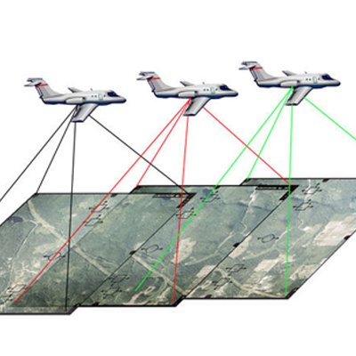
■ Latest techniques & expertise for wide range of production assignments in raster processing & rectification.
■ Satellite Data Processing
■ Digital Surface & Terrain Models (DSM, DTM
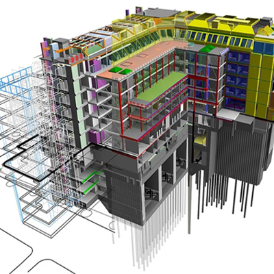
■ 3D Modelling
■ 4D (Scheduling)
■ 5D (Estimation)
■ 6D (CAFM)
■ Parametric 3D Content
■ Marketing BIM Presentations
■ Clash Coordinates
■ Scan to BIM
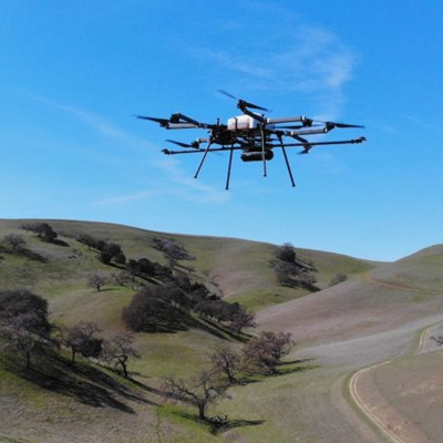
Drone & LiDAR survey
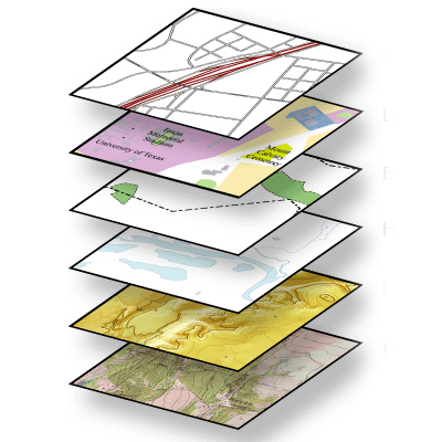
3D Point Cloud & Mesh Models
Classified point cloud and digitization
360-Degree Panoramic Imageries
3D Building Model
DSM / DTM Generation
3D Flythrough
3D City Maps
Customer Centric Analytics & Sector Specific Solution

Commercial Real Estate
High-End Residential Flyovers/Walkthroughs
Country Clubs/Golf Courses
Schools/Universities
Website Design
Marketing Tools
Promotional Videos
Travel Blog Videos

Construction
Real Estate
Landmarks and Cityscapes
Residential/Landscape